Geto-Dacian & Thracian Heritage Foundation
Protect the Past. Research the Evidence. Build the Community.
A foundation for the archaeology, history, landscapes and living heritage of the Geto-Dacian and Thracian worlds.
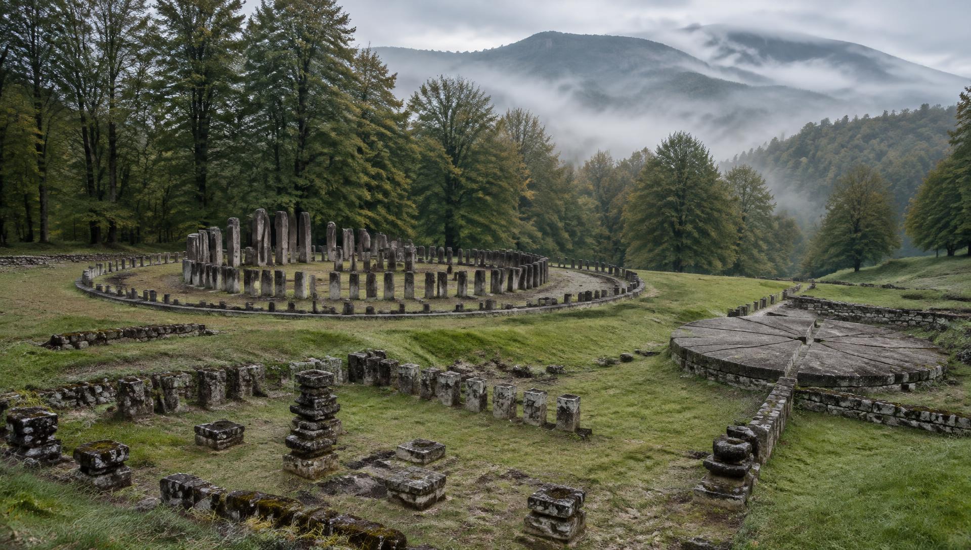
Illustrative image of a sanctuary terrace, Orăștie Mountains · Credit: AI-generated reconstruction, not a photograph
Why this foundation exists
A connective platform for a fragmented history
The history of the Getae, Dacians and Thracians matters far beyond the region — yet it is scattered across excavation reports, museums, national institutions, scholarly journals, heritage sites, local communities and popular mythology.
- Supports research
- Protects sites
- Makes evidence understandable
- Funds digitisation
- Connects institutions
- Enables community participation
- Distinguishes evidence from speculation
Mission
Five pillars
Research
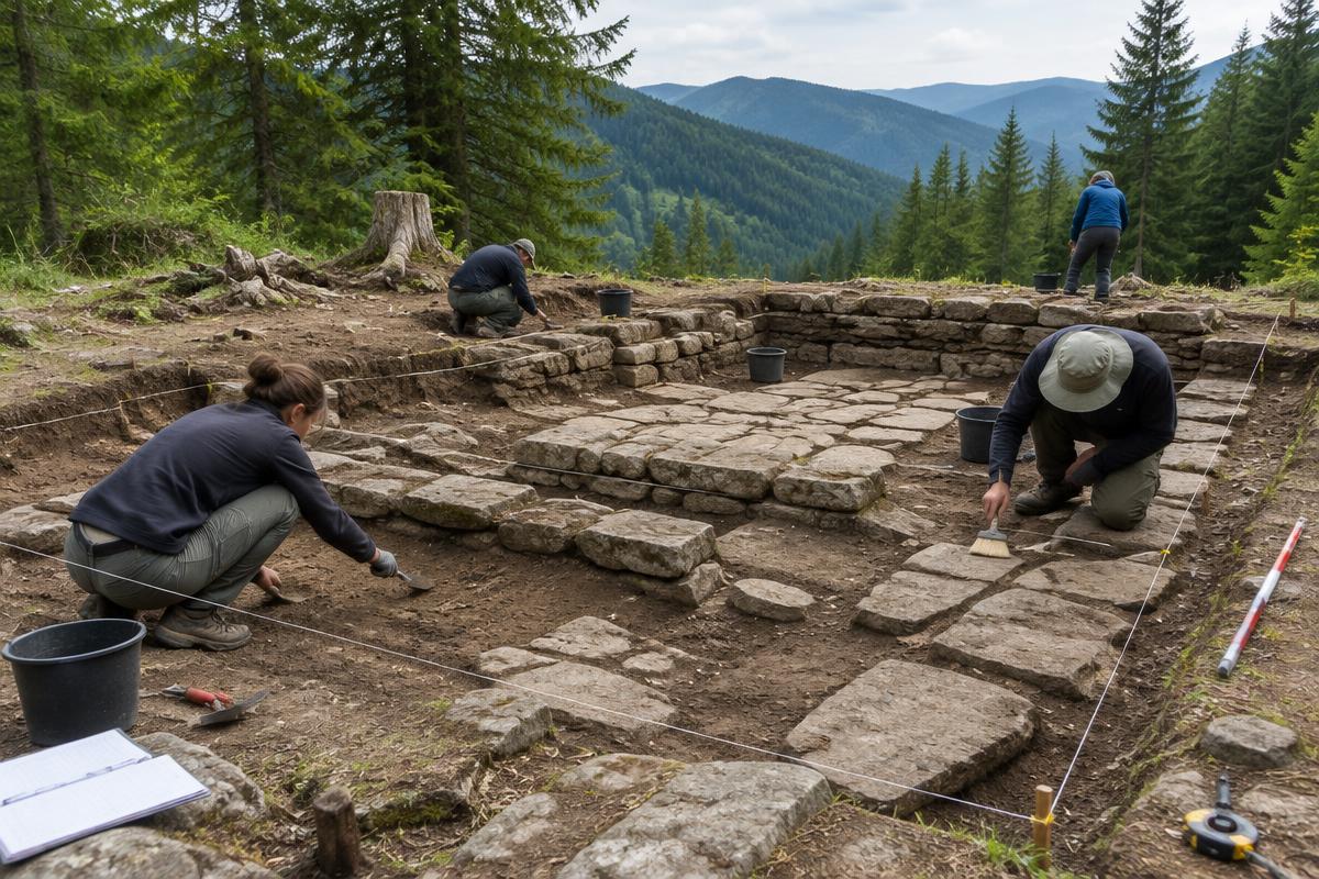
Support fieldwork, survey and publication by qualified teams.
Conservation
Protect sites and landscapes from erosion, neglect and looting.
Education
Make the evidence understandable — including its limits.
Community
Connect local communities, enthusiasts and specialists.
Digital Heritage
Fund digitisation, open data and 3D documentation.
Evidence framework
How do we know what we know?
Every claim on this site carries a label. Choose a type to filter — click any card to see its source and what remains uncertain.
Timeline
From deep context to conservation today
c. 6000 – 1100 BCE
Deep Context
Farming communities, tell settlements, copper and later bronze metallurgy across the Carpathian-Danubian-Balkan region.
c. 1100 – 500 BCE
Early Iron Age
Iron working spreads; hillforts and new burial customs appear; groups later described by Greek writers take shape.
5th c. BCE – 1st c. CE
Getae & Dacians
Greek sources speak of Getae; Roman sources of Daci. Strabo says they shared a language. The terms are external and fluid.
c. 82 – 44 BCE
Burebista
Burebista unified a wide territory and was advised by the priest Deceneus, according to Strabo and Jordanes.
1st c. BCE – 106 CE
Sarmizegetusa Regia
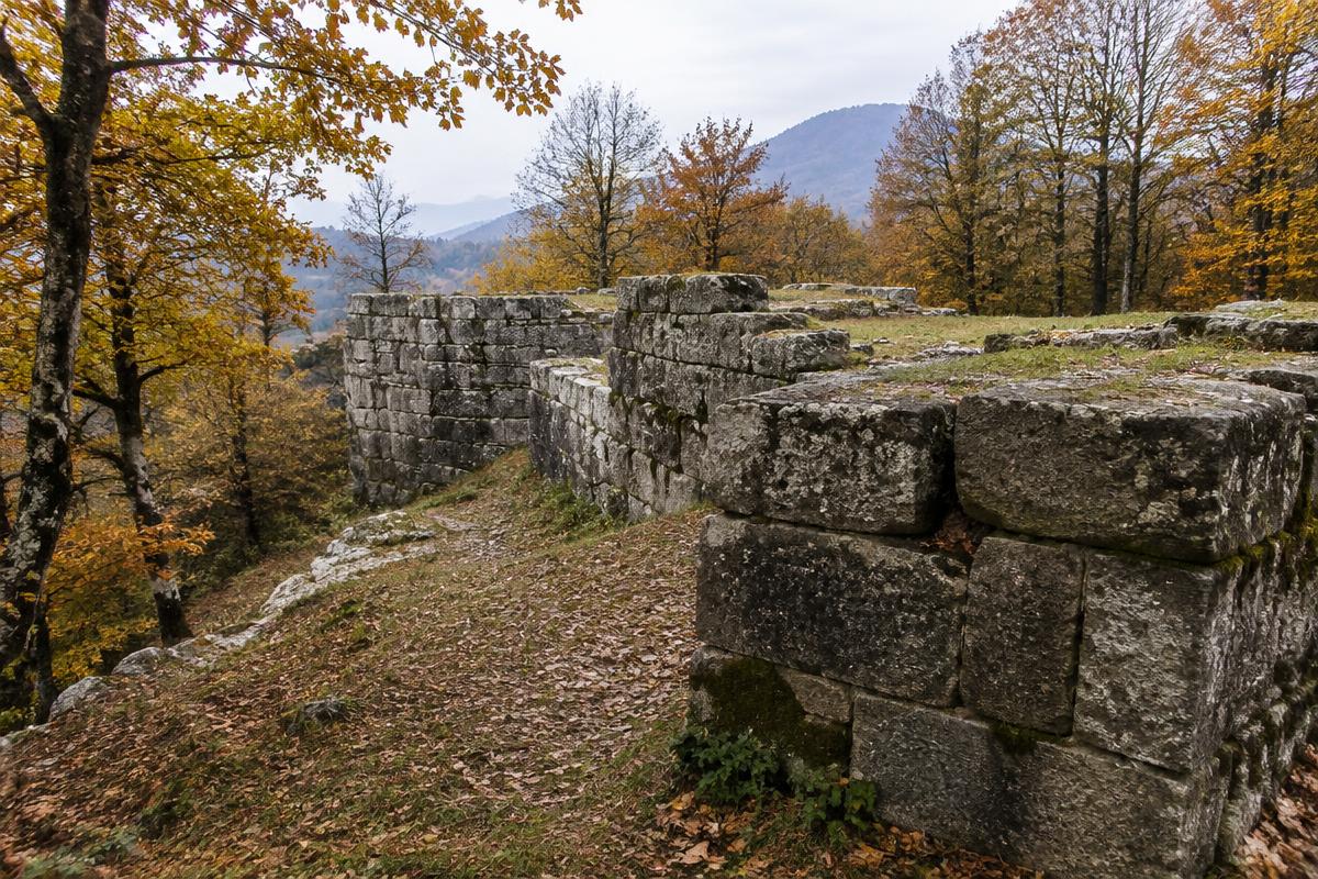
Terraces, sanctuaries, fortifications, workshops and water systems at high altitude — now a UNESCO World Heritage site.
Ancient testimony
Religion & Ritual
Herodotus records Zalmoxis among the Getae. Archaeology shows sanctuaries, but cannot reconstruct a full theology.
101 – 106 CE
Dacian-Roman Wars
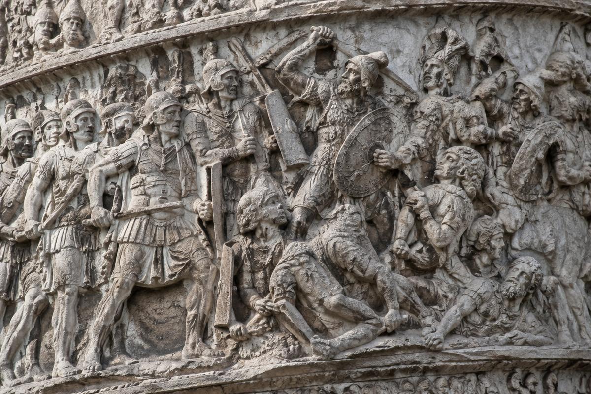
Two wars ended in Roman conquest of the core Dacian territory. Trajan's Column in Rome depicts the campaigns.
106 – c. 271/275 CE
Roman Dacia
A Roman province with Ulpia Traiana Sarmizegetusa as capital, until the Aurelian withdrawal.
3rd – 7th c. CE
Late Antiquity
Changing populations, Roman presence south of the Danube, and complex continuity debates.
19th c. – present
Modern archaeology & conservation
Systematic excavation, UNESCO inscription in 1999, LiDAR survey and ongoing conservation challenges including looting.
Featured research
Work happening in the field
External programmes shown for reference. GDTHF has no formal relationship with them yet.
Excavation · External
Orăștie Mountains Archaeological Research Programme
Long-running excavation and study of the fortress system and its landscape.
Landscape archaeology · External
LiDAR and topographic research at Sarmizegetusa Regia
Airborne laser scanning reveals terraces and features hidden under forest.
Digital reconstruction · External
DACIT
Digital documentation and reconstruction of Dacian artefacts.
Public history · External
Exploring Dacia
Public-facing exploration of Dacian heritage sites.
Heritage project · External
Capital of Dacia – A Living Museum
Interpretation and presentation of Sarmizegetusa Regia.
Featured sites
The Orăștie Mountains fortress system
Political & sacred centre
Sarmizegetusa Regia
Terraced centre with sanctuaries, workshops and fortification on Dealul Grădiștii.
45.624° N, 23.310° E · UNESCO World Heritage (no. 906)
Community
A network of curious, careful people
Discussion
What do we actually know about the Bănița fortress?
Digital salon
Reading Herodotus on Zalmoxis — date to be announced
Volunteer
Help transcribe archive excavation notes
Research question
How should museums present the draco today?
Examples of the planned community. Not live activity.
External Institutions & Resources
Listed for reference only. No partnership is implied.